
Sectors are an easy way to map the external inputs and energies that affect your property, such as prevailing wind, the path of the sun, fire risk and pollution. Each Sector is drawn as an arc radiating from a point on your Map, giving you a high-level overview of the forces you'll want to design around.
To work with Sectors, click 'Sectors' in the main menu. This opens the Sectors panel where you can add, edit and remove the Sectors on your Map.
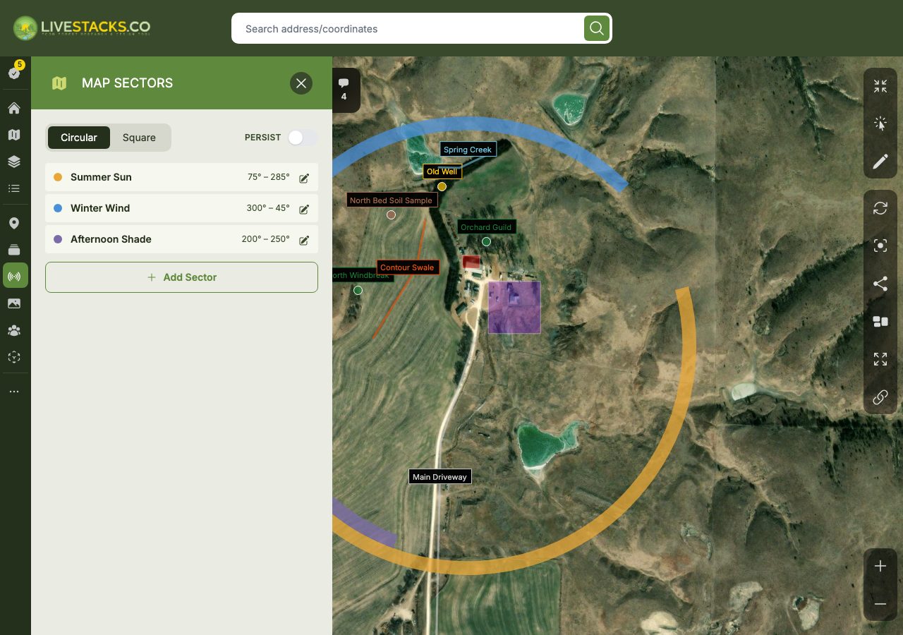
Adding a Sector
Click the 'Add Sector' button to create a new Sector. Each Sector can be configured with several options:
- Label - a name to identify the Sector, such as "Summer Sun" or "Cold Wind"
- Color - the color used to display the Sector on the Map
- Start & End - the compass angles, in degrees (0–359), where the Sector arc begins and ends

Sectors can be drawn as either a circular arc or a square band using the mode toggle at the top of the panel, depending on how you'd like to represent the input.
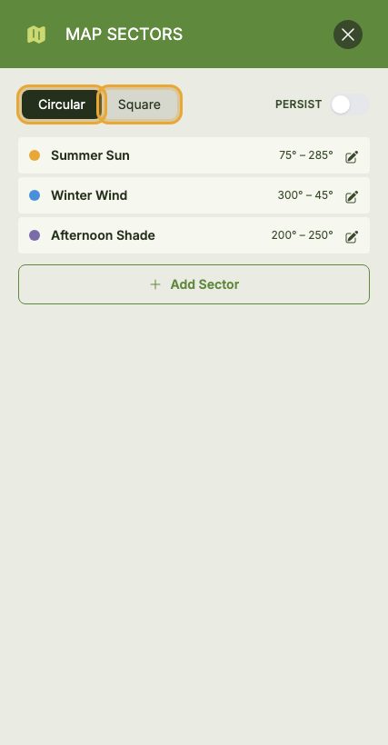
To remove a Sector, click its 'Delete' button and confirm. You can edit a Sector at any time by opening it from the Sectors panel and updating its values.